 Cart(
Cart(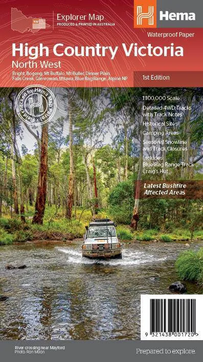
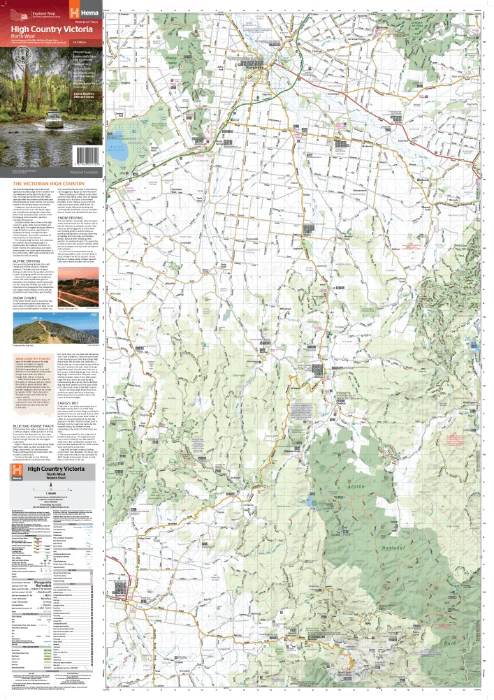
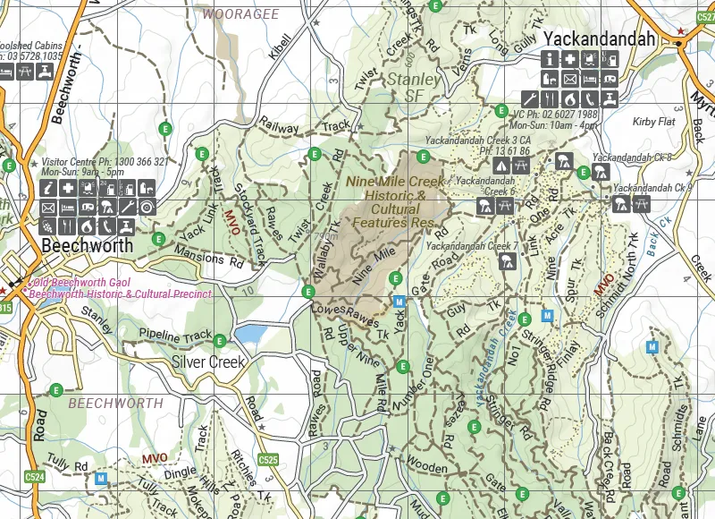
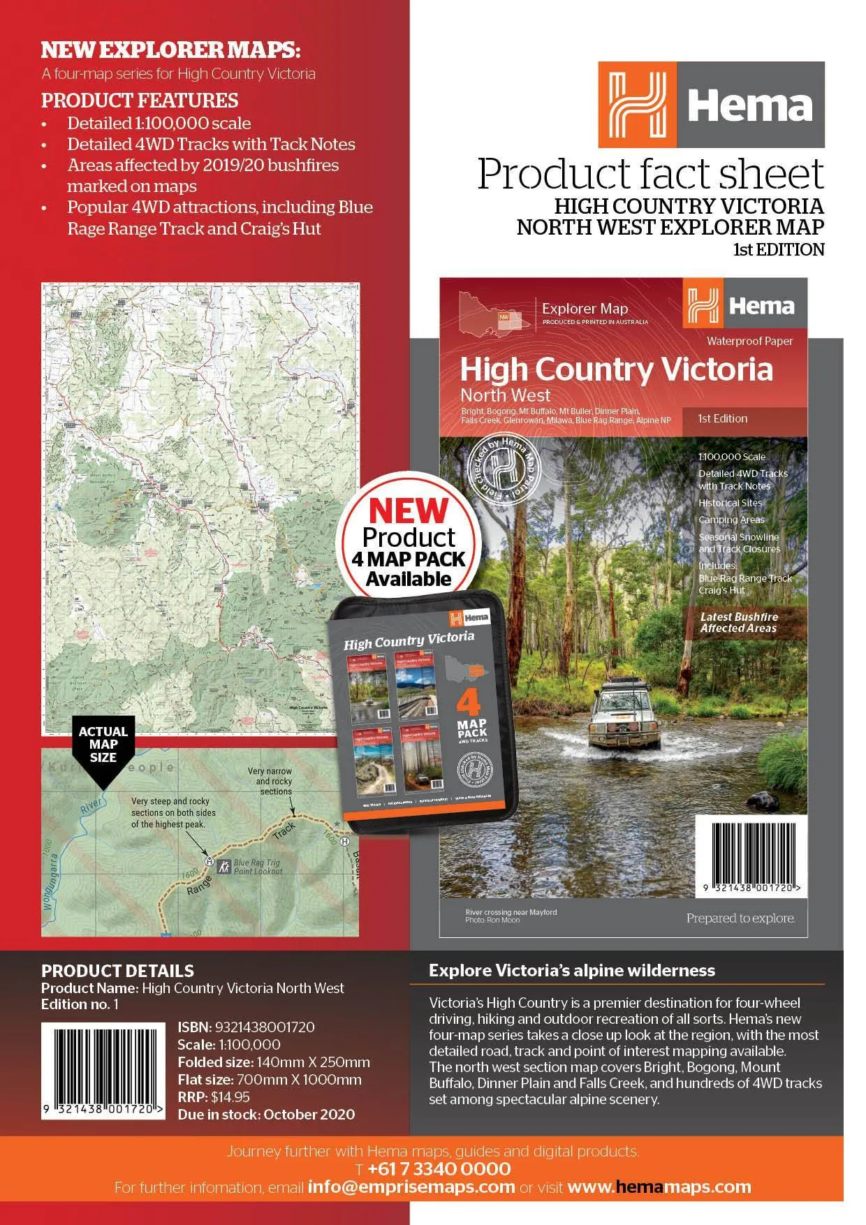
The Victorian High Country - North Western Map (1st edition)
This map is part of Hema's new Victorian High Country Map Series and covers the North Western Alps Area including Hotham, Wangaratta and surrounds.Printed on durable waterproof paper, this map featuresHema's iconic mapping and extensive points of interest. Featuring roads and 4WD tracks field-checked by the Hema Map Patrol for superior accuracy.
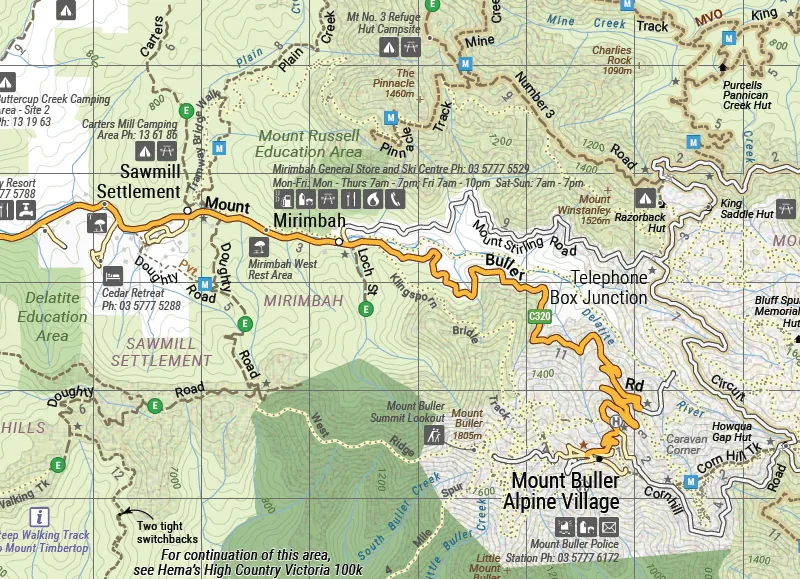
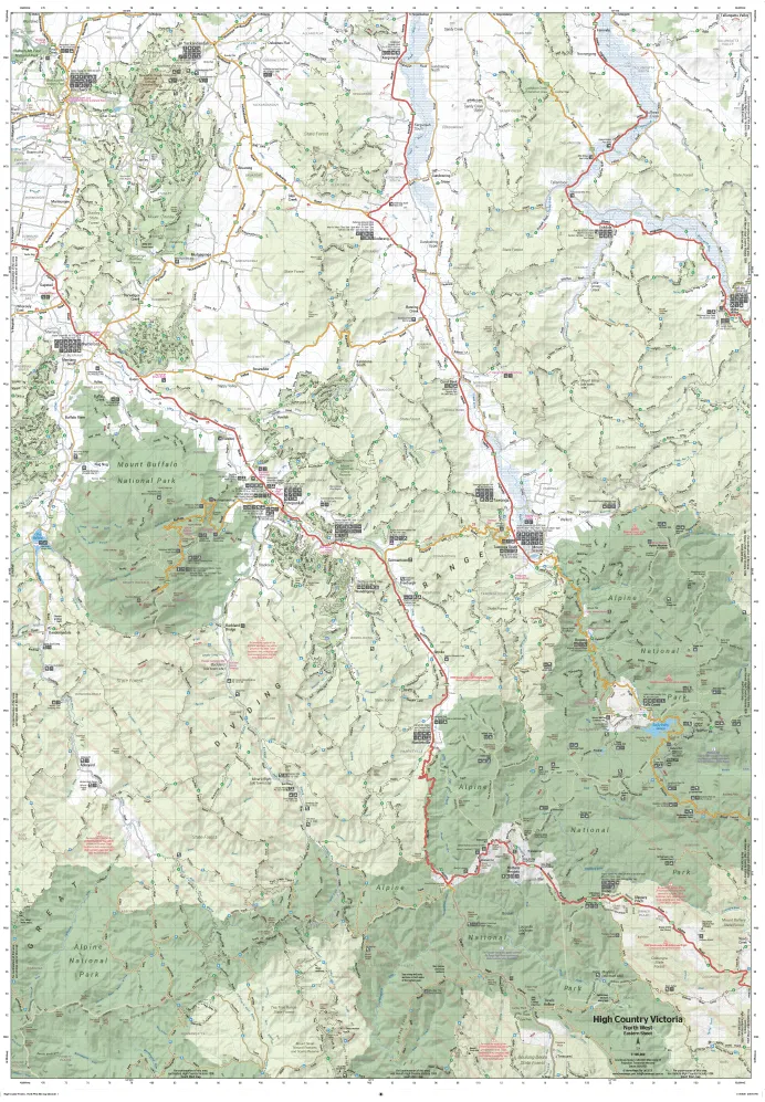
It combines Hemas entire database of roads and 4WD tracks with touring points of interest and topographic information. Also included are seasonal track closures, camping areas, old townsites, huts, accommodation and distances.
Key Features
- 4WD tracks
- Huts
- Camping areas
- Old townsites
- Seasonal track closures
- Road distances
- Accommodation
KeySpecifications
Edition: 1st
Publication Date: 15/10/20
Scale:1:100,000
Folded size (WxHxD): 140mmx 250mm x 3mm
Flatsize (WxH): 700mmx 1000mm
Weight: 0.09kgs


